


Addthis
In 2008 was installed an EUMETCast receiving system. EUMETSAT’s Broadcast System for Environmental Data, is a multi-service dissemination system based on standard Digital Video Broadcast (DVB) technology. It uses commercial telecommunication geostationary satellites to multicast files (data and products) to a wide user community.
In the last years, a near real-time system has been developed allowing to acquire data, process it until obtaining temperature maps of the Western Mediterranean at its maximum resolution (nadir) of 1.1 km, and publishing them in a web in approximately one hour. Sea Surface Temperature maps, NOAA QuickLooks, temperature from a Spanish network of environmental buoys (i.e. coastal buoys from Puertos del Estado), monthly videos from daily temperature maps, daily temperature maps and netCDF products are generated. Also, there are historical wind data (from 1999) and chlorophyll (1997) until 2006. All these data can be viewed with satellite data web app as SAIDIN (developed at ICM) and THREDDS distributes raw NOAA/METOP data. More information about near real-time system developed here.
EUMETCast key features:
-
Secure delivery allows multicasts to be targeted to a specific user or group of users thus supporting any required data policy
-
Handling of any file format, allowing the dissemination of a broad range of products
-
Use of DVB turnarounds allows the easy extension of geographical coverage
-
One-stop-shop delivery mechanism allows Users to receive many data streams via one reception station
-
An installed User base of over 1700 User stations
-
Use of off-the-shelf, commercially available, DVB reception equipment
-
Highly scalable system architecture
-
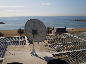
The antenna receives data from NOAA 17 and 19 and MetopA
Old HRPT acquisition system (Currently out os use)
In August 2001 an HRPT (High Resolution Pixel Transmission) system was acquired at Data Tools Products in France through Indra Espacio. It was full operational in August 2002. This antenna stops using in 2008 when company went into liquidation.
Features:
-
Programmed satellite passes.
-
Orientable parabolic antenna automatically pointing to satellite.
-
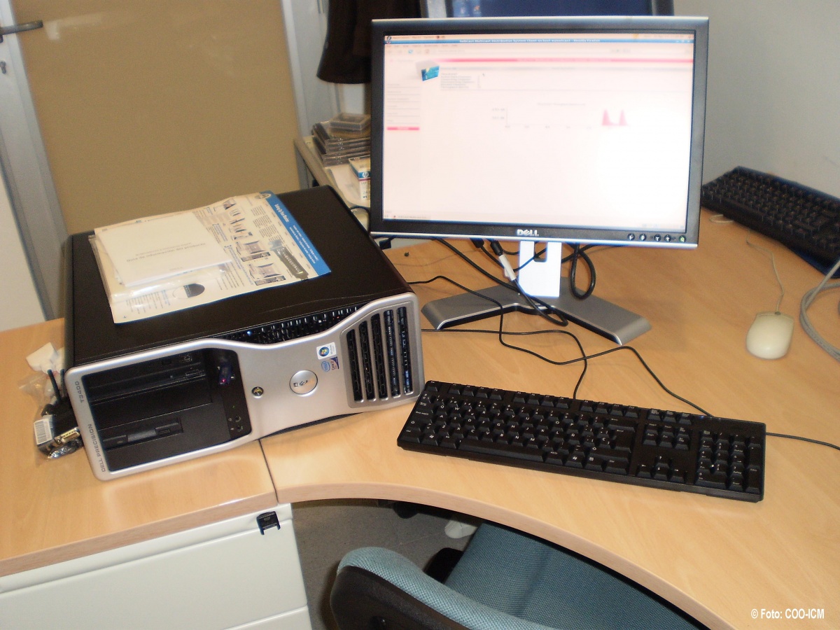
One acquisition computer and another one for data processing and archiving.
-
10 bits HRPT telemetry.
-
Snapshot created and used as background image in acquisition PC.
-
Small metadata file created.
-
Backup of all the raw data in DVD+R and DAT media.
Data received:
-
NOAA (12-19, mainly (NOAA- 12, 15, 16, 17), AVHRR (visible infrared for SST) and other sensors
-
Sea WiFS (ocean color)
-
FengYun1 – C/D (not of much use over ocean)
-
SPOT 4/5 vegetation (land application, 1Km resolution)
NOAA Satellite Information System (NOAASIS).
This site provides up to date status information on each spacecraft and its various subsystems.