

Addthis
Explanation about Data (Extracted from Elena Ojeda PhD Thesis)
The coastal system is in incessant change, subject to the constant action of waves and tides (in addition to the wind action) that shape its morphology. The mutual interaction and adjustment of the seafloor topography and the fluid dynamics involving the motion of sediment is known as coastal morphodynamics. This interrelation can be explained as follows: in the nearshore region the water motion is influenced by the seafloor topography and is responsible of sediment transport. Gradients in the sediment transport produce morphological changes in the seafloor. The loop is complete as hydrodynamic processes respond to the modified bathymetry.
The common characteristic of most of the existing coastal monitoring video systems is that they represent a black box where the end users are not able to change components or routines (e.g., data acquisition or processing routines). This is not the case of Sirena (Nieto et al., 2010), an open source and low cost video-based coastal monitoring system. The software can be downloaded via svn from http://sourceforge.net/projects/sirena-remote/ Nieto et al. (2010) described the characteristics and capabilities of the system at that moment. However, partly due to its open source character, Sirena along with its documentation have continued to evolve. Different research institutions and individuals have helped on the improvement of the system. Today there are more than 10 known Sirena stations in Spain, Mexico and France whose users are also contributing to the development of the software by direct involvement in code development or by reporting problems or suggestions.
Sirena was initially developed for the Imaging Source DFK31AF03 cameras with a maximum resolution of 1024x768, which works with the IIDC/DCAM Format_1 Mode_5 standard. These were the cameras used at several sites in Mallorca (Spain) but a change in the camera model used in a new station in Castelldefels (Spain) in 2010 (with 5 Sony XSD-SX90CR cameras), forced several changes in the source code in order to work with Format_2 Mode_2 which enabled the use of UXGA 1600x1200 image resolutions.
Video monitoring techniques give the possibility to study a range of spatial and temporal scales, from specific cross-shore profiles to several kilometres of coast and with sampling intervals depending on the required measurement. Moreover, this technique is not as conditioned by weather and wave state as traditional surveys. Standard cameras can sample every daylight hour, although during certain weather conditions (e.g., fog or heavy rain) the images may be not usable. However, video monitoring allows the collection of large quantities of images, and the acquisition of a series of hydrodynamic and topographic parameters.
The primary sampling technique is directed to obtain time-exposure images. This sampling is done every daylight hour during a ten-minute period (1 image per second). From the 600 images obtained, the system keeps three types of images (below): a snap shot, a time-exposure image (which contains the ten-minute average of the image intensity) and a variance image (which contains the standard deviation of the image intensity).
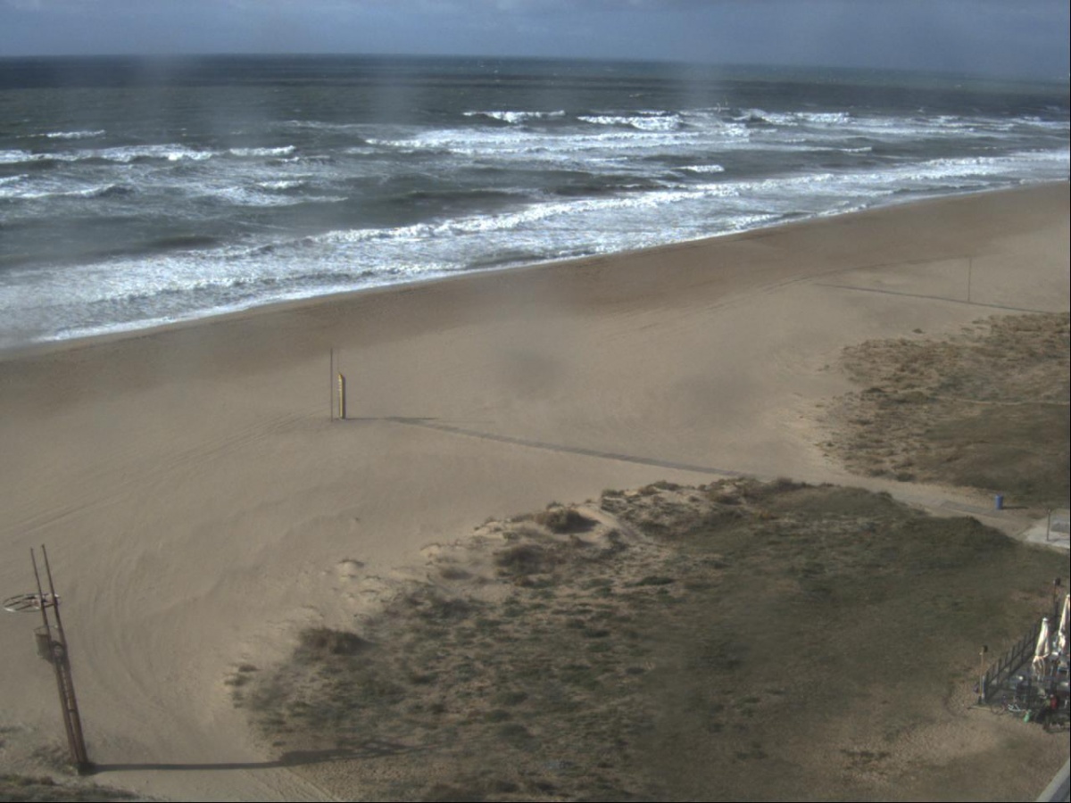 Snap shot
|
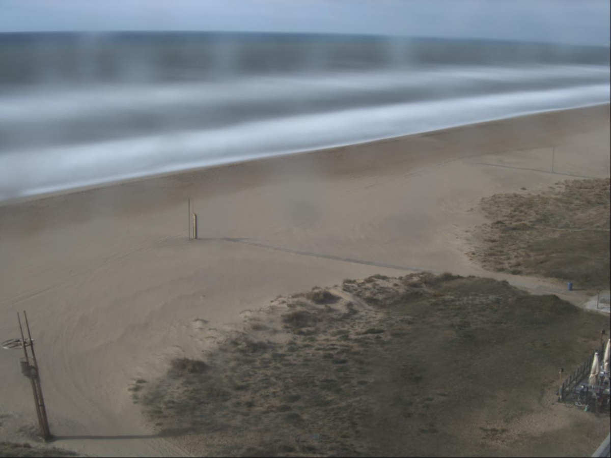 Timex
|
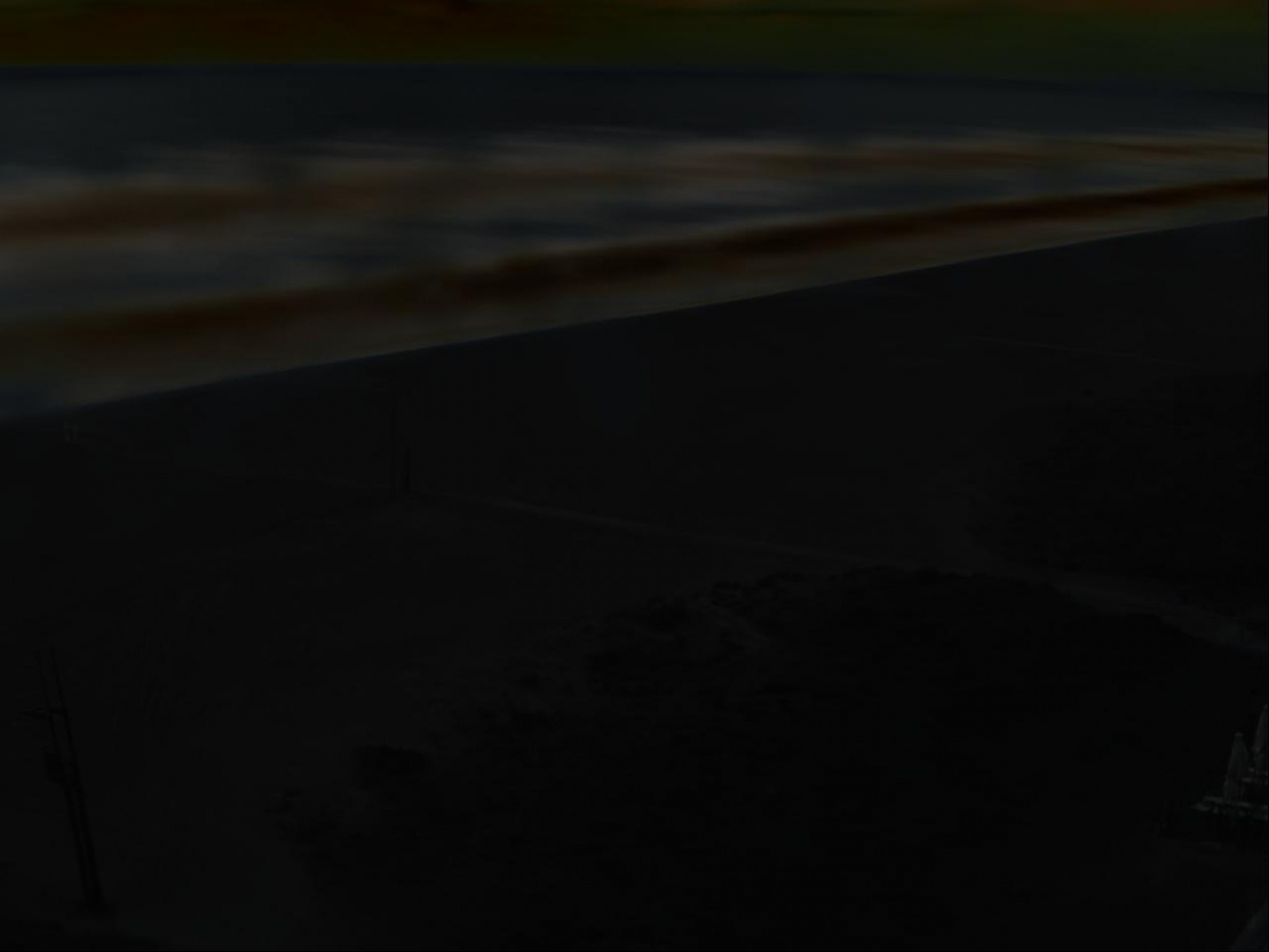 Var
|
|
In order to obtain real-world coordinates from these oblique video images each camera must be calibrated, to remove the radial lens distortion, and the image must go through some geometrical transformation to find the relation between the image coordinates and the real-world locations.
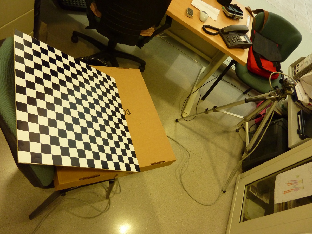 Calibrating camera
|
The process is described with detail in Holland et al. (1997). Once the images of the different cameras are rectified, they can be merged to obtain a plan view of the area (below).
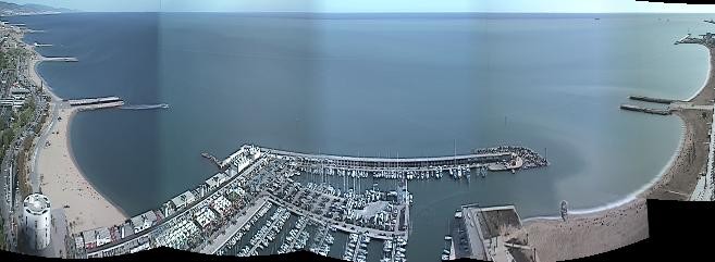 Pan View
|
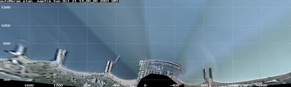 Plan View
|